Field note
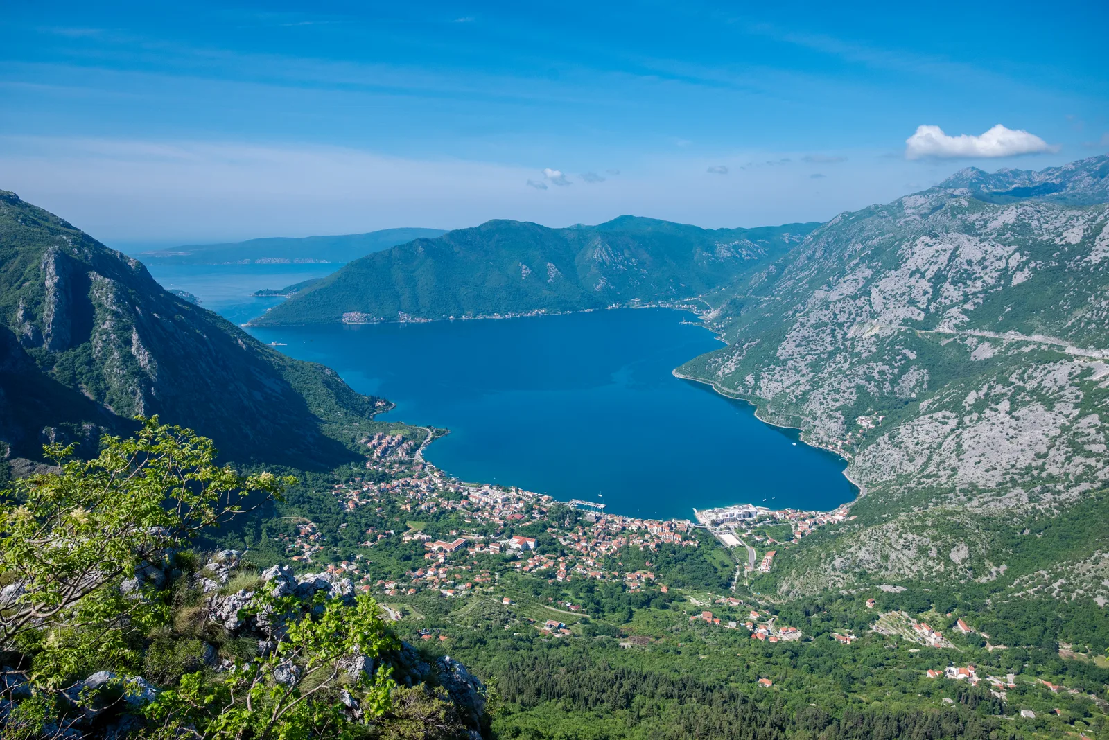
High above Perast, St. Andrea crowns Vranovo Brdo at 743 metres. It is not a quick photo stop: the place belongs to walkers who want the bay, old military roads, limestone ridges and a quiet fortress in one route.
Route options
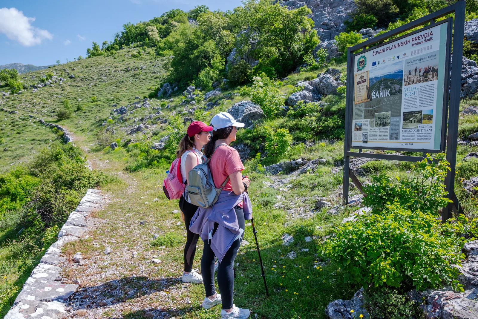
Route A - Ledenice
Park near the end of the asphalt above Donje Ledenice, turn right at the Partisan monument junction and follow the gravel road through Ubalac for about 7 km. Fort Šanik is a possible detour from the junction.
Route B - Perast
Start from the Perast waterfront. The ascent is continuous, gaining roughly 750 m through bay views, forested sections and open limestone ridges. Return the same way or continue toward Orahovac if logistics are arranged.
Route C - Perast to Orahovac loop
The full route from the provided guide links Perast, St. Andrea and Orahovac in about 14.6 km and roughly 5 hours of moving time. It requires a taxi or car shuttle back from Orahovac.
The fortress
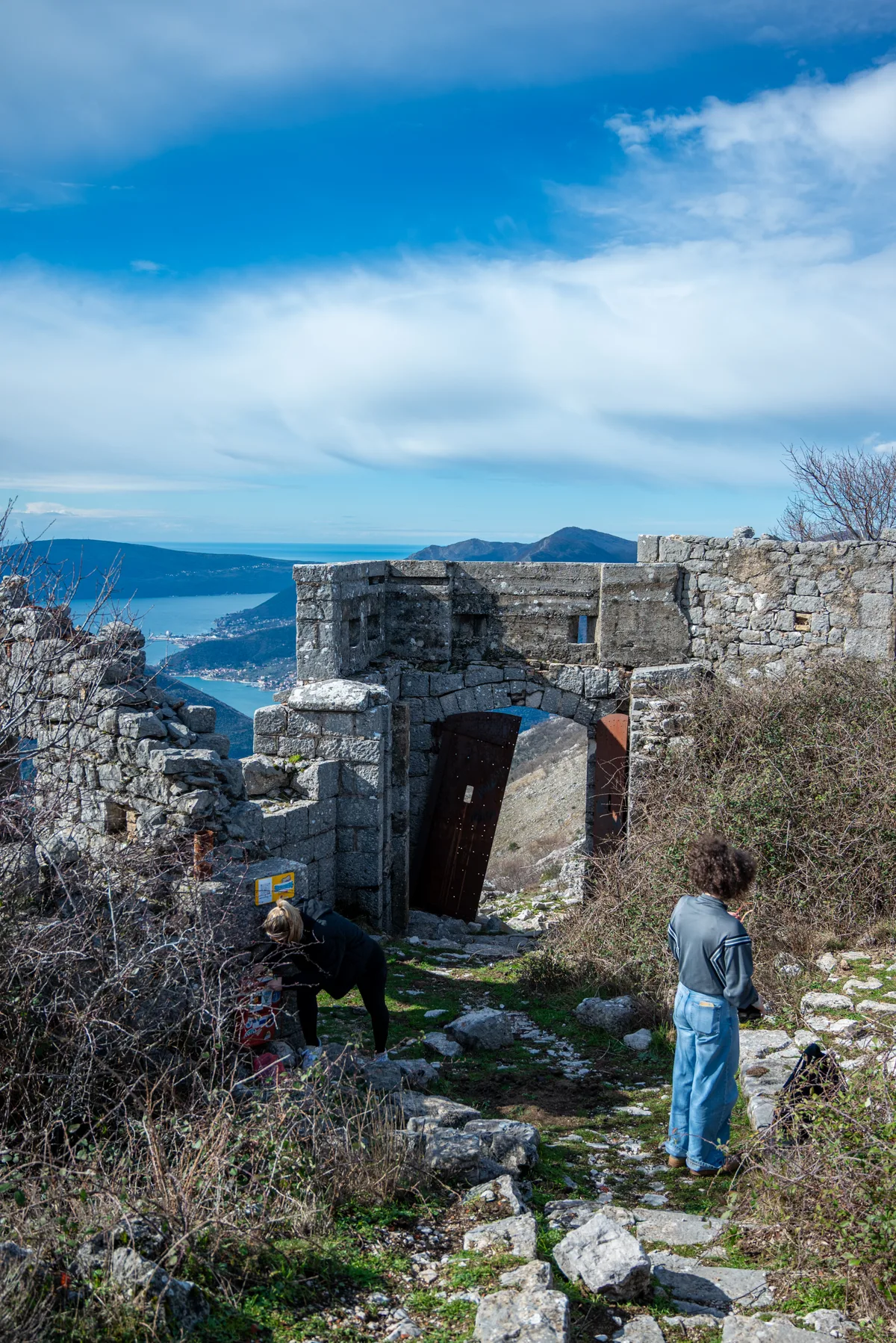
The Austro-Hungarian fortress, recorded in the provided guide as Fort Vranovo Brdo, is now a romantic ruin rather than a restored monument. The surviving iron door, cistern and well give it more texture than many empty hilltop remains.
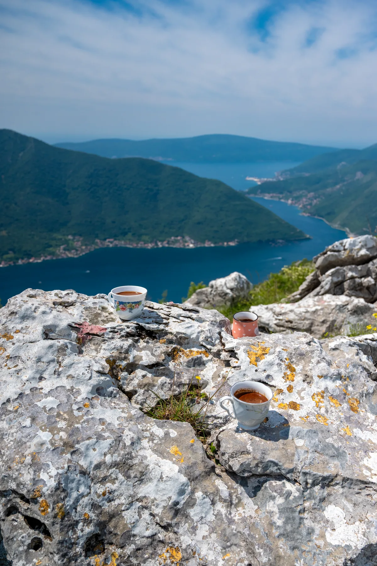
Its position is the point: from the ridge the Bay of Kotor, Perast, Risan and the surrounding limestone peaks sit in one wide military panorama.
When to go
April to June and September to October are the practical seasons. Summer heat makes the open sections harder and often reduces visibility.
Sunset can be exceptional because the fortress faces west, but the descent requires planning, light and offline navigation.
Gallery